Proactive Planning for Resilience: Protocols for Community-Led Climate Adaptation in Virginia
Strategy Development
Reducing Risk to Buildings within Vulnerable Areas
There are a number of approaches that local governments in Virginia can take to reduce flooding risks for existing buildings or redevelopment in low-lying, at-risk areas. These include adopting protective requirements in the locality’s building code and floodplain management ordinances, and pursuing funding to elevate flood prone houses.
Building Codes
Flood-resistant construction can help increase a structure’s resilience to flooding caused by storms and sea-level rise. Localities can adopt flood-resistant measures in their floodplain management ordinances in addition to the Virginia Uniform Statewide Building Code (VUSBC), which supersedes local building codes but not floodplain management ordinances.1 For example, a local government could consider adopting a prohibition on the use of “slab-on-grade” foundations for homes in the floodplain, since they increase flood risk, as the City of Charleston, S.C. has done. For more information, see What is ‘slab-on-grade’ and why did Charleston just ban it? – Southern Environmental Law Center and Code of Ordinances | Charleston, SC | Municode Library.
Virginia DCR’s model floodplain management ordinance includes some recommended specific standards that are higher than the FEMA NFIP’s minimum standards in cases where DCR believes those standards provide insufficient protection or create complexity. Read the DCR Model Ordinance here: Floodplain Management Regulations and Ordinances; read the VUSBC provisions here: Code of Virginia Code – Chapter 6. Uniform Statewide Building Code and 2021-virginia-construction-code.pdf. For more information, see Wetlands Watch’s discussion of the use of Building Codes to increase flood resilience: Building Code — Wetlands Watch.
Freeboard requirements: Freeboard is a “factor of safety usually expressed in feet above a flood level,” accounting for “unknown factors” that could result in flood heights greater than the estimated calculations.2 The DCR model floodplain ordinance, which serves as a minimum baseline from which localities can adopt higher standards, recommends eighteen inches as “the best ‘bang for buck’ in reducing flood insurance rates and allow[ing] for an additional margin of safety,” although only one foot is required.3 The VUSBC requires a one-foot freeboard, or allows localities to adopt the “design flood elevation”4—the higher of either the “base flood elevation at the depth of peak elevation of flooding” or “the elevation of the design flood . . . on a flood hazard map adopted by the community”—if it is higher.5
Floodproof materials: The DCR model floodplain ordinance requires new construction and substantial improvements to be “constructed with materials and utility equipment resistant to flood damage.”6 Similarly, the VUSBC requires “[b]uilding materials and installation methods used for flooring and interior and exterior walls and wall coverings below the elevation required” to be flood damage-resistant materials that conform to FEMA provisions regarding flood-resistant construction.7
Setbacks: While FEMA does not mandate setbacks for participation in the NFIP, they can be utilized to “establish minimum distances that structures must be positioned” from the shore.”8 The DCR model floodplain ordinance does not explicitly mention setbacks, but it prohibits “encroachments, including fill, new construction, substantial improvements, or other development” into “any floodway area,”9 which encompasses the “channel of a . . . watercourse and the adjacent land areas.”10 Since DCR encourages localities to adopt higher standards, they may want to consider adopting an explicit setback requirement from waterways and flood prone areas. While the VUSBC also does not explicitly mention setbacks, it does require “[n]ew buildings and buildings that are determined to be substantially improved [to] be located land-ward of the reach of mean high tide.”11
Buffers: While both the model floodplain ordinance and the VUSBC do not mention buffers, localities may be required to adopt a “safety buffer consisting of a natural vegetative or contour strip” in certain erosion-prone areas as part of NFIP participation.12 Buffers may be incorporated into qualifying localities’ floodplain management ordinances to ensure NFIP participation. Additionally, qualifying localities are required to adopt riparian buffers along perennial waterways under Virginia’s Chesapeake Bay Preservation Act — see the Chesapeake Bay Preservation Act discussion.
1 Va. Code § 36-98, https://law.lis.virginia.gov/vacode/title36/chapter6/section36-98/.
2 Va. Department of Conservation & Recreation, “Model Floodplain Management Ordinance,” art. VII § Q, (2017), https://www.dcr.virginia.gov/dam-safety-and-floodplains/document/fpm-mod-ordinance.docx.
3 Ibid., § 4.3(A).
4 Va. Residential Code § 322.2.1(1), 2021.
5 Ibid., § 322.1.4.
6 Model Floodplain Management Ordinance § 4.2(C). (See 2).
7 Va. Residential Code § 322.1.8.
8 Federal Emergency Management Agency, “Setback,” last modified July 8, 2020, https://www.fema.gov/glossary/setback.
9 Model Floodplain Management Ordinance § 3.1(A)(1)(a). (See 2).
10 Ibid., art. VII(P).
11 Va. Residential Code § 322.3.1(1), https://codes.iccsafe.org/s/VARC2021P1/chapter-3-building-planning/VARC2021P1-Ch03-SecR322.3.1.
12 “Floodplain management criteria for flood-related erosion-prone areas,” 44 C.F.R. § 60.5, 2024, https://www.ecfr.gov/current/title-44/chapter-I/subchapter-B/part-60/subpart-A/section-60.5.
Elevating Houses
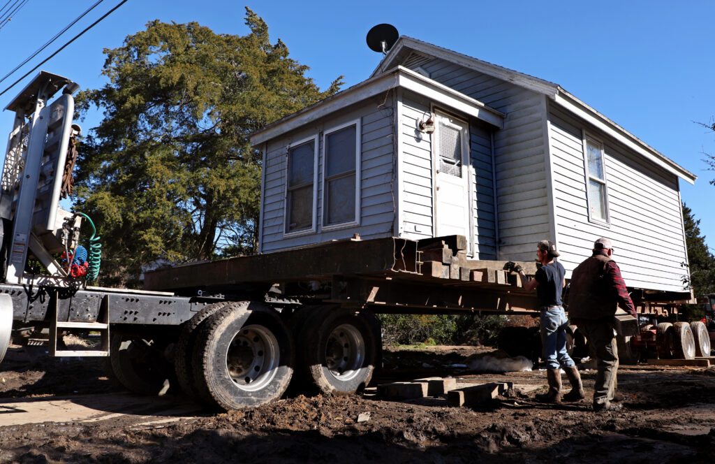
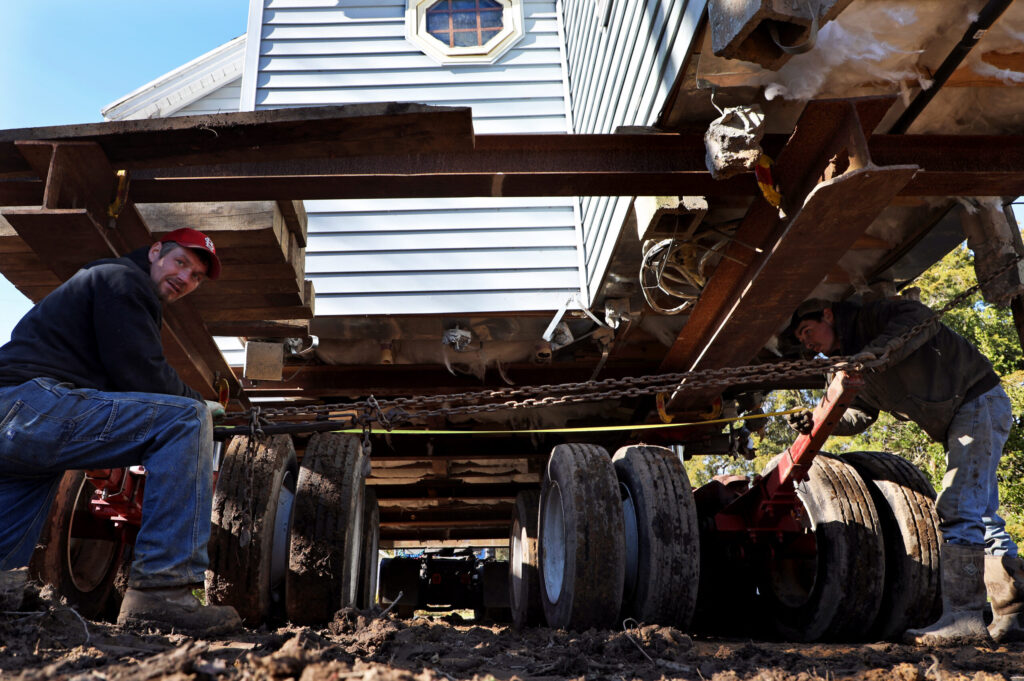
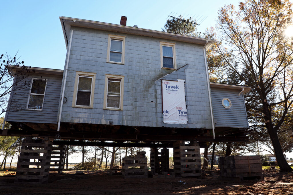
Elevation may help protect homes from damage caused by storm surge and flooding in low lying areas.1 Elevation can range in height from a few feet to a full story. Sea level rise and other factors that influence flood levels may result in higher flood events, necessitating higher elevation. Elevation only provides a temporary solution to the long-term problem of flooding due to sea-level rise and increasingly severe storms. For instance, while elevation may protect the homes themselves, it does not solve access problems caused by flooding roads and driveways, and it does not address inundated septic systems. Additionally, elderly residents or residents with disabilities may struggle with inaccessibility during electrical outages, when elevators cannot operate. Accordingly, elevation is a stopgap solution—an interim tool to employ while localities develop longer-term community solutions to sea level rise and increasing flooding. See the full FEMA Guide to Retrofitting.2
Localities may enact elevation and other flood resilience requirements via floodplain management ordinances or building codes. The Code of Virginia exempts “local floodplain regulations adopted as a condition of participation in the National Flood Insurance Program” from the general rule that Virginia’s Uniform Statewide Building Code (VUSBC) supersedes localities’ building codes.3 Of note, the VUSBC incorporates by reference the American Society of Civil Engineers’ ASCE/SEI 24-14, Flood Resistant Design and Construction standards.4 Read the full provision here: 2021 Virginia Residential Code BASIC PLUS.
Floodplain management ordinances offer localities flexibility. While the Virginia Department of Conservation and Recreation (DCR) has issued a model floodplain management ordinance, localities are “encouraged” to adopt “higher standards.”5 As a baseline, the model ordinance provides that “[n]ew construction or substantial improvement of any residential structure” in designated flood zones “shall have the lowest floor, including basement, elevated to or above the base flood level,” with the suggestion of an additional eighteen inches.6 See the model ordinance here: Floodplain Management Regulations and Ordinances.
2 Federal Emergency Management Agency, “Homeowner’s Guide to Retrofitting,” (2014): 5-2, https://www.fema.gov/sites/default/files/2020-08/FEMA_P-312.pdf.
3 Va. Code § 36-98, https://law.lis.virginia.gov/vacode/title36/chapter6/section36-98/.
4 Va. Admin. Code, “Documents Incorporated by Reference,” 13VAC5-63, https://law.lis.virginia.gov/admincode/title13/agency5/chapter63/section9999/.
5 Va. Department of Conservation & Recreation, “Model Floodplain Management Ordinance,” art. VII § Q, (2017), https://www.dcr.virginia.gov/dam-safety-and-floodplains/document/fpm-mod-ordinance.docx.
6 Ibid., § 4.3(A).


